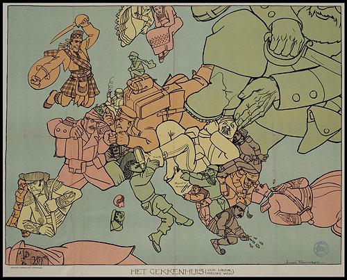
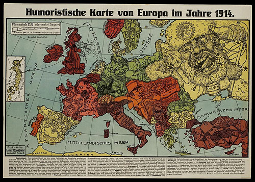
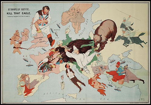
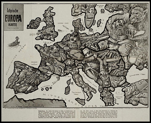
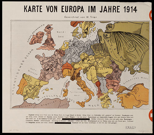
BibliOdyssey just posted a great little collection of satirical maps of World War I. The maps were painstakingly screencapped and stitched together from images on the University of Amsterdam website. It’s really cool to see political cartoons from nearly 100 years ago.