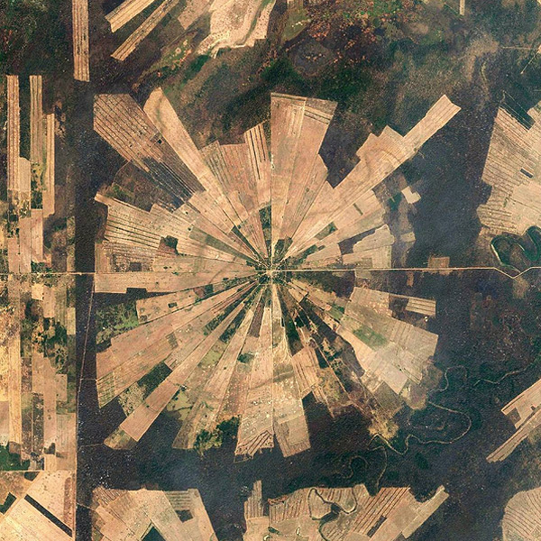
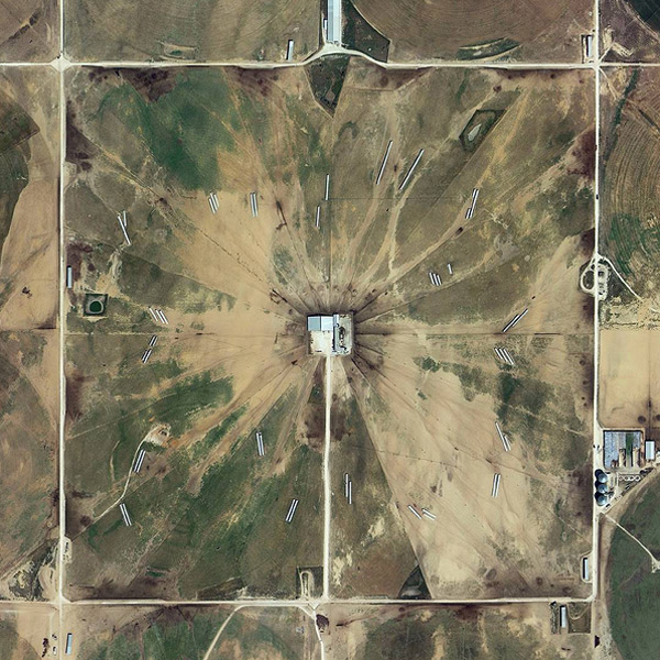
Taking its name from the survey system Thomas Jefferson devised to divvy up land into 640 acre plots, @the.jefferson.grid posts “Everything that fits in a square mile” using satellite images from Google Earth. Check out more images below!
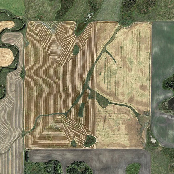
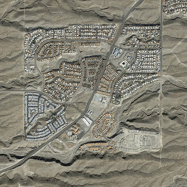
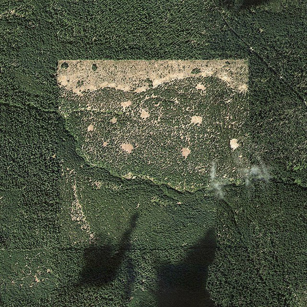
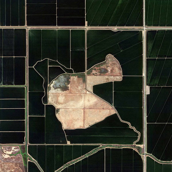
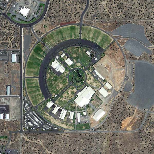
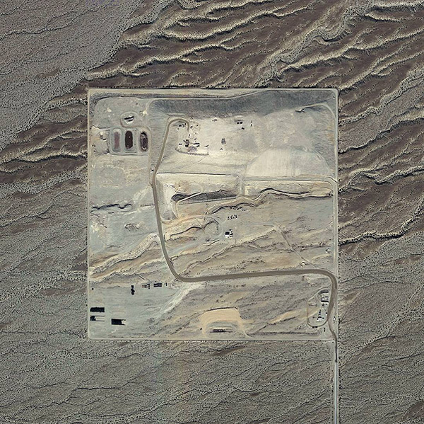
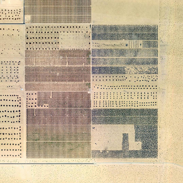
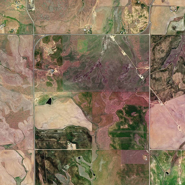
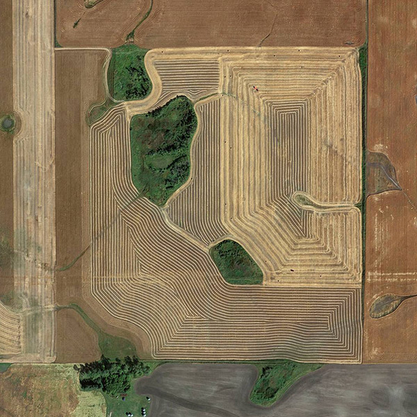
Taking its name from the survey system Thomas Jefferson devised to divvy up land into 640 acre plots, @the.jefferson.grid posts “Everything that fits in a square mile” using satellite images from Google Earth. Check out more images below!

This collection brings together work from 60+ artists and is also our biggest volume yet: 276 pages, and for the first time, in a larger format.
Booooooom Shop
Explore the work of our five winners, twenty shortlisted artists, and two hundred shortlisted images selected from thousands of entries worldwide.
See More
Our weekly newsletter filled with interesting links, open call announcements, and a whole lot of stuff that we don’t post on Booooooom! You might like it!
Sign UpRelated Articles
