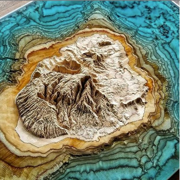

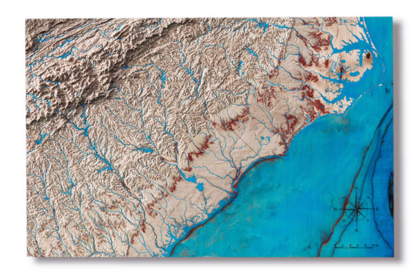
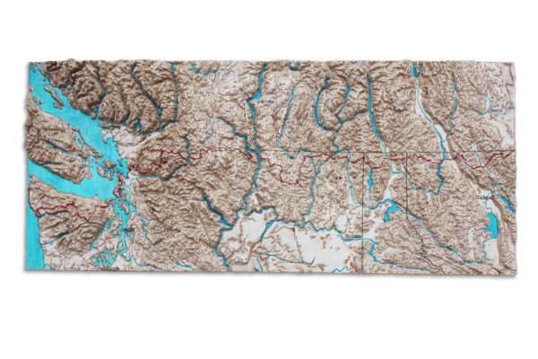
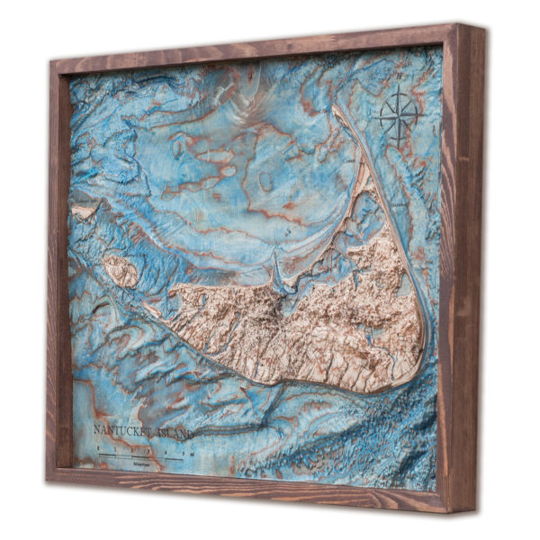
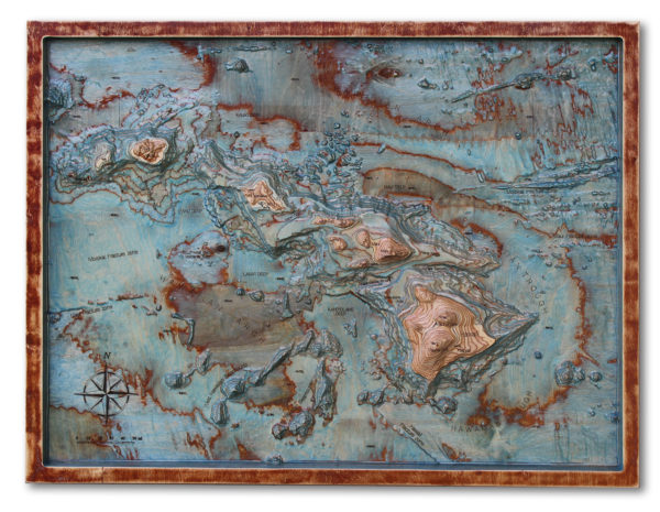
Every 3D map is a surprise in a way. Even if you you’ve spent whole your live living there. The elevation dimension reveals the surroundings, opens the crevasses, enlarges the contrast of valleys, reveals the hidden bottom of the lakes and ocean. 3D map is a perfect educational material as well as stunning home or office decoration.
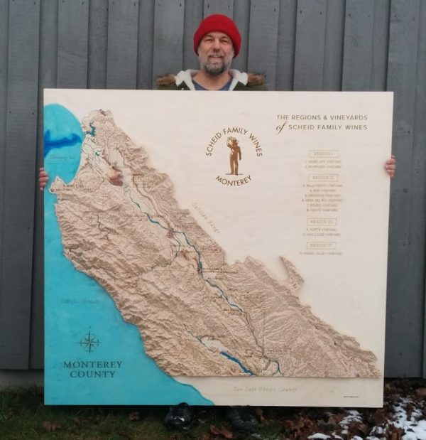
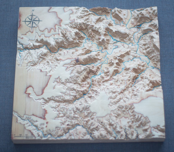
To do so I convert the digital satellite data into 3D models, adjusting scale to give an impressive look on wood. Additional vector data is burned with laser to show shapes of lakes, rivers, borders and in some cases streets, not naming the additional nominal information that makes these maps fully informative.
I paint water bodies by hand in blue, what makes every map unique.
Learn more here
